Master Blender for OSINT Investigations
Verify geolocation, reconstruct events, and create compelling visual evidence for open-source intelligence investigations. Learn proven Blender OSINT tools and techniques used by organizations like Bellingcat, human rights investigators, and conflict researchers. From satellite imagery analysis to 3D matching workflows—beginner to pro, no prior Blender experience needed.
Trusted by OSINT analysts at Oxford University & Border Violence Monitor Network
Why OSINT Investigators Choose Blender
Blender is the Swiss Army knife for open-source intelligence visualization. Free, powerful, and proven by leading OSINT organizations worldwide.
Geolocation Verification
Match photos and videos to real-world locations using 3D terrain models, satellite imagery, and Google Earth integration. Verify claims with precision.
Satellite Imagery Analysis
Import and analyze satellite imagery from Sentinel Hub, Planet Labs, and commercial providers. Create elevation models and measure distances accurately.
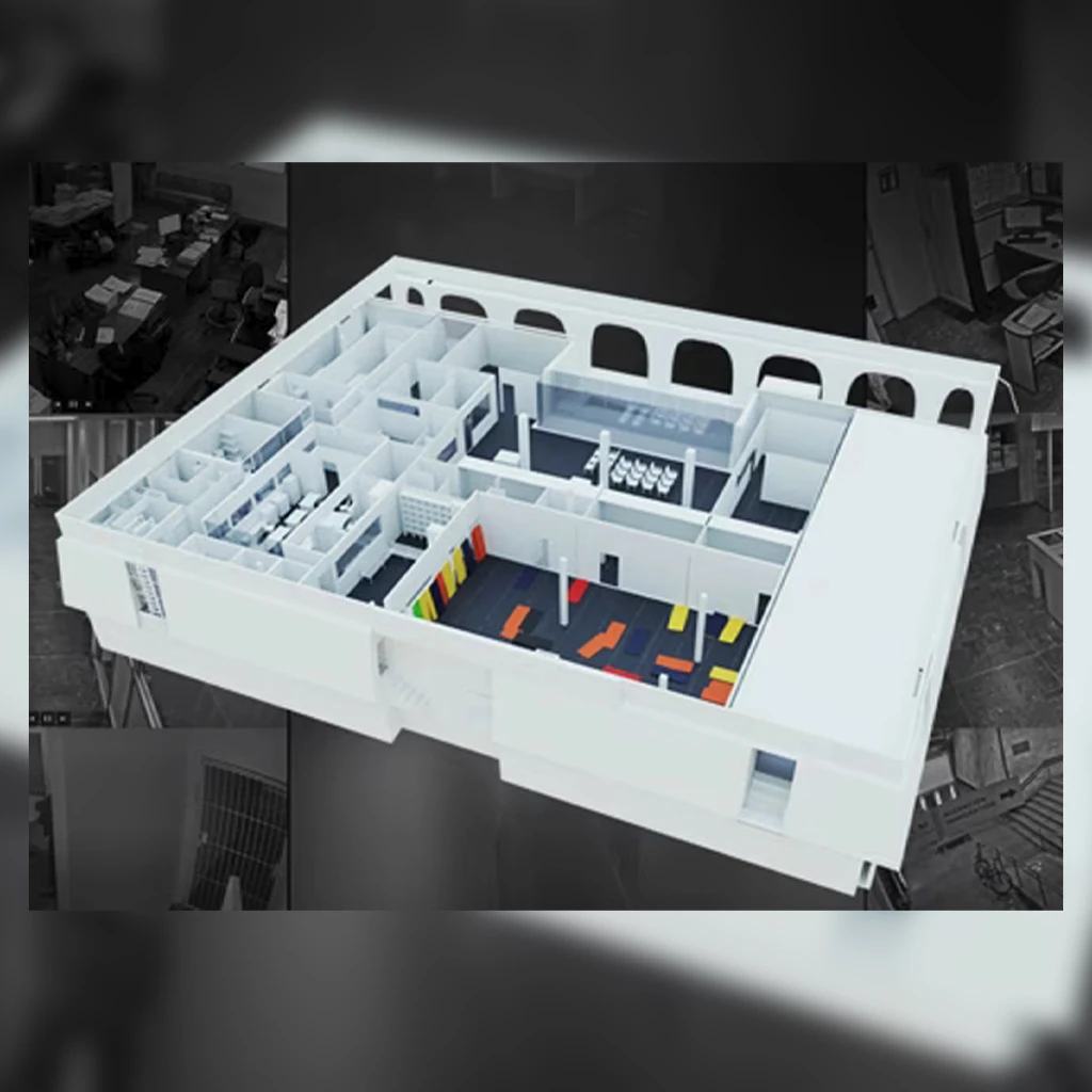
3D Reconstruction
Reconstruct crime scenes, conflict zones, and incident locations from multiple photos, videos, and witness testimonies for comprehensive analysis.
Visual Evidence Creation
Create court-ready visualizations and compelling presentations that make complex geospatial evidence clear and understandable to any audience.
OSINT Tools Integration
Seamlessly integrate with Google Earth, QGIS, OpenStreetMap, and other OSINT tools. Build complete workflows from data gathering to presentation.
Free & Open-Source
No expensive licenses. Blender is completely free, with a thriving community and constant updates. Perfect for independent investigators and NGOs.
Popular OSINT Workflows You'll Master
Learn battle-tested workflows used by professional OSINT investigators in real-world investigations.
1. Photo Geolocation Workflow
Step 1: Extract metadata and analyze visual clues (landmarks, shadows, architecture)
Step 2: Import suspected location from Google Earth into Blender as 3D terrain
Step 3: Match camera angle, focal length, and perspective to photo
Step 4: Verify landmarks, distances, and sun position
Step 5: Generate comparison renders and document findings
2. Satellite Imagery Analysis Workflow
Step 1: Download satellite imagery (Sentinel, Planet Labs, or commercial)
Step 2: Import into Blender as textured terrain using elevation data
Step 3: Measure distances, areas, and volumes accurately
Step 4: Compare images over time to detect changes
Step 5: Create annotated 3D flythrough animations
3. Incident Reconstruction Workflow
Step 1: Gather all available photos, videos, and witness statements
Step 2: Create accurate 3D model of location using satellite/street view data
Step 3: Place objects, vehicles, and people based on evidence
Step 4: Animate timeline of events with timestamps
Step 5: Export presentation-ready visualizations
Real OSINT Investigations
See how Blender has been used in actual open-source intelligence investigations.
Conflict Zone Geolocation
Verified exact location and timing of conflict footage by matching terrain features, building structures, and sun angles using Blender 3D terrain models imported from Google Earth.

Satellite Change Detection
Analyzed satellite imagery over 6-month period to document infrastructure changes in conflict zones. Measured distances and areas using Blender's precision modeling tools.
OSINT-Focused Training Options
Choose the training format that fits your investigation schedule and learning style.
OSINT Essentials Course
Self-paced online course covering geolocation verification, satellite imagery analysis, and basic 3D reconstruction for OSINT investigations.
- ✓20+ hours of OSINT-focused video tutorials
- ✓Downloadable workflow templates
- ✓Real OSINT case study breakdowns
- ✓Community forum access
1-on-1 OSINT Coaching
Personalized training sessions focused on your specific OSINT investigations. Get expert guidance on your actual cases.
- ✓Custom curriculum for your investigations
- ✓Live screen-sharing sessions
- ✓Review your actual OSINT work
- ✓Flexible scheduling for investigators
Team OSINT Workshop
Intensive 2-day workshop for OSINT teams and organizations. Learn collaborative investigation workflows and advanced techniques.
- ✓2-day intensive training (online or in-person)
- ✓Collaborative OSINT workflows
- ✓Custom case studies for your organization
- ✓Post-workshop support
What OSINT Investigators Say
"The geolocation verification workflow completely changed how I approach investigations. I can now definitively prove or disprove location claims with 3D evidence that stands up to scrutiny."
"Blender training was exactly what our NGO needed. We went from struggling with basic satellite imagery to producing court-ready 3D reconstructions in just 3 months."
Ready to Master Blender for OSINT Investigations?
Join OSINT investigators worldwide who use Blender to verify evidence, reconstruct events, and expose the truth.